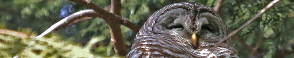
This area stretches from the wetlands east of Sedro-Woolley to the interpretive trails around Newhalem. The main attraction during the winter months are the Bald eagles, which gather in high numbers along the Skagit River from December to February to feed on spawning Chum and Coho salmon. The Skagit River Bald Eagle Interpretive Center, open weekends in December and January, is a “must stop” in Rockport.
Sedro-Woolley – Concrete
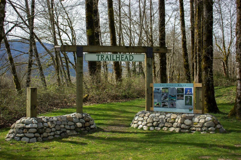
Hansen Creek Wetlands & Northern State Area Trails
The trails meander over what was once the Northern State Hospital historical farm, along Hansen Creek, and atop upland meadows. You can wander through the heart of prime elk habitat and find signs of coyote, deer, and occasionally cougar and bear. Berm trails bisect the Hanson Creek alluvial fan on the south end of the park. Birding is superb in these wetlands, where the handy work of beavers is evident throughout.
History: In 1991, Skagit County purchased a 726-acre portion of the former Northern State Hospital from the State of Washington for the purpose of developing a major regional recreation facility for the citizens of Skagit County and beyond. The site, now called the Northern State Recreation Area (NSRA), is located on the eastern edge of the urban growth area of Sedro-Woolley in the foothills of the Cascade Mountains
Directions: From Highway 20, turn north on Helmick road, which is just under a mile outside east of Sedro-Woolley. The parking area will be on the west side of Helmick Road after about a 1/3 mile. No pass required.
Rasar State Park
“To experience the best the park has to offer, link the Skagit Woods Trail, the Skagit River Trail and the Field Trail for a looping, three-mile nature walk. The Skagit Woods Trail takes hikers from the main campground, through second-growth forest, to the rocky, sandy shore of the river. The shoreline along the River Trail affords prime bird-watching opportunities. Next, traverse a grassy meadow on the Field Trail, where deer are frequently spotted grazing.” Washington Trails Association
Directions: If traveling east on Highway 20, turn right (south) on Lusk Road and then left (east) on Cape Horn Road. You will see the park entrance on the right after about ¾ of a mile. If traveling west on Highway 20, turn left (south) on Russell Road and then right (west) on Cape Horn Road. The park entrance will be on your left after about 1¼ mile. Discover Pass required.
Concrete to Rockport
Rockport State Park
Once a popular camping destination, this state park was converted into day-use only to protect its old growth forest. The park’s ancient trees, having never been logged, form a landscape and ecosystem seldom seen nowadays, a canopy of towering evergreens so dense that minimal sunlight shines through.
“It’s all about diversity, learning and experiencing,” Steven Starlund, Rockport State Park senior park aide, told the Skagit Valley Herald. “So now this park is a place for education and it’s perfect for that because there are very few of these types of forests left. Look around, the trees in this area are 100 to 150 feet taller than anything around it. Every inch of this forest is covered with biomass. It literally keeps growing. There is a lot going on inside this 700 acres.”
Breathe in the crisp smell of conifers and feel the earth beneath your feet, then look up and marvel at the Rockport giants, some more than 250 feet tall. Enjoy the park’s Deep Forest Experience on weekends December through mid-February. Take an interactive hike through the forest with a knowledgeable guide. Visit the park’s Discovery Center with your family for engaging activities and displays about this area and to build a craft to take home.
Rockport State Park staff and volunteers lead half-mile, 45-minute walks under a dense canopy of maple trees and old growth fir, cedar and hemlock. Many of the Rockport trees are more than 400 years old and top out at 250 feet. They include the 500-year old Grandmother Cedar. During the walks, interpretive staff and guest speakers discuss the ecosystems that keep forests healthy, including salmon-bearing streams, bird and animal scat and mycorrhizal fungi.
This park has a trail for every ability level, including the friendly, fully accessible West Loop Interpretive Trail, which meanders for a mile through thickets of old growth.
Directions: About 7 miles east of Concrete or 32 miles east of Sedro-Woolley, the park’s entrance is well marked on the north side of Highway 20 between milepost 96 and 97. Discover Pass required.
Howard Miller Steelhead Park & Sauk-Skagit Reach Trail
This well-maintained county park is situated on the north bank of the Skagit River in Rockport. It is home to the Skagit River Bald Eagle Interpretive Center, which contains a wealth of information about the Upper Skagit ecosystem and is staffed by wonderful volunteers. The center is open on weekends throughout December and January, with guided hikes starting at 11:00 am. Check the center’s website and calendar for complete information.
The Sauk-Skagit Reach Trail is an 8-mile round trip trail meanders along the north side of the Skagit River, beginning from the west end of Howard Miller Steelhead Park. Watch the eagles swoop down to talon Chum Salmon on the sand bars on Washington State’s second largest river.
Directions: Approximately 37 miles east of I5 on Highway 20 turn south on Highway 530 and then turn right before the bridge into the Howard Miller Steelhead Park. (See Google Maps link here). No pass required.
Skagit River Bald Eagle Natural Area
The Bald Eagle Natural Area covers thousands of acres along the upper Skagit River at the confluence with the Sauk River, near Rockport. The property was acquired beginning in 1975 to protect bald eagle wintering habitat through a project of the Nature Conservancy and Washington Department of Fish & Wildlife. The unit consists of mature, undisturbed forested habitat.
Directions: Turn south onto Highway 530 and across the Skagit River bridge. Turn left on the first road after the bridge, Martin Road and proceed until the road makes a 90-degree turn to the right. The parking lot is directly ahead. There is a short trail from the parking area to the edge of the river.
Rockport to Marblemount
Pressentin Park Trail
Forty acres of old homestead land on the Upper Skagit River, in the town of Marblemount bests describes Pressentin Park. Skagit County Parks and Recreation is honored by the gift of this land and has opened a birding trail there as of April of 2003. The birding trail is a well mowed strip of land that traverses the perimeter of the old homestead. Parking is provided by DJ’s Shell station next door.
Marblemount Fish Hatchery
At Marblemount, cross the Skagit River bridge and proceed past the entrance to the Marblemount Boat Launch (the starting place for Bald eagle rafting trips and the location of a very nice bird-watching loop walk that follows the Skagit and Cascade Rivers). Continue past the boat launch for about a half mile, then turn right on the Rockport-Cascade Road, cross the Cascade River Bridge, and take the next right to the fish hatchery.
Tours are offered Saturdays and Sundays from the last weekend in December through mid-February. Knowledgeable guides take you into the hatchery to explain how eagles relate to the lifecycle of the Pacific Salmon. Visitors get to see living salmon eggs and alevin in the hatchery and can feed the fish in the outdoor pens (great fun for kids!).
Besides fish, the hatchery river frontage offers great views of eagles, hawks, blue herons, ducks, and dippers. A short path follows the inlet stream for the hatchery down to the Cascade River. The inlet is often crowded with spawning or dead chum, Coho, or steelhead. Picnic tables, flush toilets, and an indoor heated exhibit room are available.
Newhalem
The town of Newhalem is located along State Route 20 at mile 120. Many trails begin from the North Cascades National Park Visitor Center, located across the Skagit River (watch for signs). Trails also begin from the Newhalem Campground, or from the town of Newhalem. Many hours can be spent exploring trails in the vicinity of Newhalem. From valley paths to accessible boardwalks, there is variety and reward for everyone. For a complete list and description of trails, see the website of North Cascades National Park.
South Skagit Highway & Cumberland Creek
If you return down the valley along South Skagit Highway, you will have the opportunity to visit a very special conservation area – Cumberland Creek. Beware that frost can linger all day long on this shady side of the valley, so drive carefully.
The Skagit Land Trust began to acquire this floodplain forest in 2005 with financial assistance from the Salmon Recovery Funding Board, gradually increasing the acreage to its current size of 211 acres. This property is an excellent example of how rich in diversity the deciduous forests of the Skagit River floodplain can be. Cottonwoods, alders and big-leaf maples line the Skagit River and provide nutrients to the water, as well as homes for many species of birds and amphibians. Cumberland Creek provides very important salmon habitat.
This short video about Cumberland Creek from Elisabetta Bastai on Vimeo provides an overview of this wonderful conservation project.
In October 2014, a project was completed to restore more than 4,000 feet of salmon habitat by diverting Cumberland Creek into its historic channel in a joint effort by the Skagit Land Trust, the Army Corps of Engineers, Skagit River System Cooperative (SRSC), Skagit County, and Seattle City Light. The creek had been in its current channel for about 80 years because of the South Skagit Highway.
The public is encouraged to visit this property! You can tour this conservation area’s interpretive trail, created by the 2009-2010 Emerson High School environmental science class. As part of their curriculum, these students studied the natural history of Cumberland Creek, wrote and designed an educational brochure. As you walk the trails, you’ll find numbered posts corresponding to the brochure’s information.